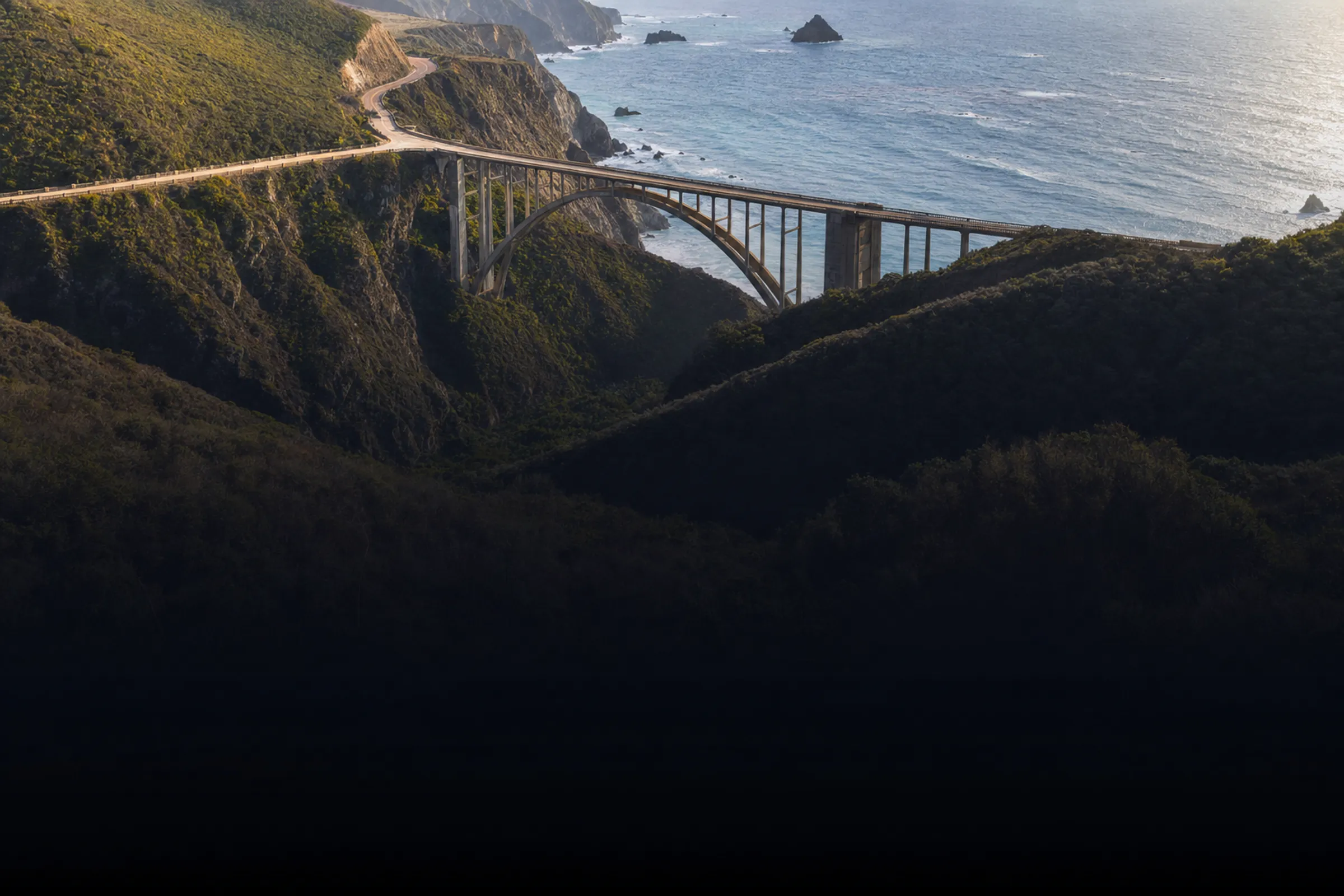
The miles are part of the plan.
Boston → NYC → Philly. The PCH. Route 66. One itinerary with honest drive times, stops on the actual route and no surprise 10-hour days.
Planning from $5 a day with ezPass.
Three days on Highway 1.
Santa Cruz to Morro Bay, planned the way ezTrips plans a drive: days cut to the limit you set, stops in driving order, and the whole route on a real map.
Day 1 · Santa Cruz → Carmel
Tell us your daily max. We plan to it.
Set the most you want to drive in a day and the stops are planned around it — 1h 07m on the road today, with the afternoon at the aquarium. No surprise 10-hour days.
Day 2 · Carmel → San Simeon
Stops on the route, not 40 minutes off it.
Point Lobos, Bixby Bridge, Pfeiffer Beach and McWay Falls, in driving order along Highway 1. Every drive is a row of its own with real minutes and miles — 2h 38m today, still under your max.
Day 3 · San Simeon → Morro Bay
Weather, day by day.
Each day carries its own forecast along the route. With ezGo, when rain looks likely, you get an indoor option before you head out.
The whole trip
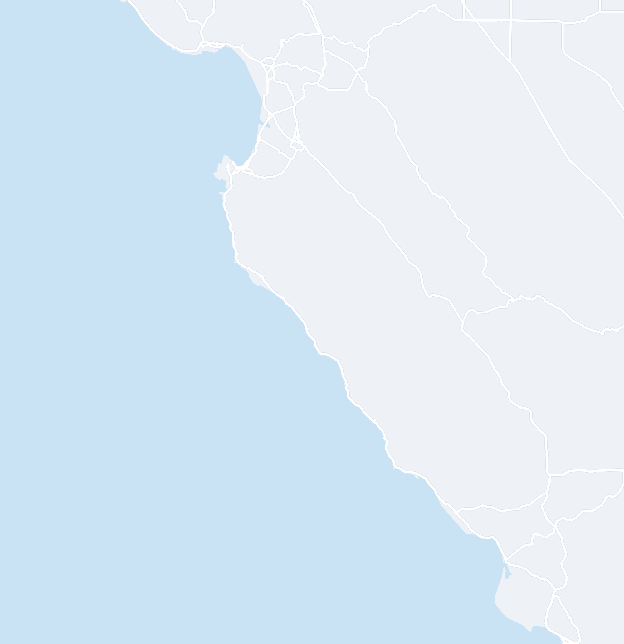
Every stop, on one map.
Three days, 181 miles and 4h 40m of driving — every stop, drive and overnight in one plan, on the web while you plan and on your phone in the car.
Day 1 · Santa Cruz → Carmel
Tell us your daily max. We plan to it.
Set the most you want to drive in a day and the stops are planned around it — 1h 07m on the road today, with the afternoon at the aquarium. No surprise 10-hour days.
Day 2 · Carmel → San Simeon
Stops on the route, not 40 minutes off it.
Point Lobos, Bixby Bridge, Pfeiffer Beach and McWay Falls, in driving order along Highway 1. Every drive is a row of its own with real minutes and miles — 2h 38m today, still under your max.
Day 3 · San Simeon → Morro Bay
Weather, day by day.
Each day carries its own forecast along the route. With ezGo, when rain looks likely, you get an indoor option before you head out.
The whole trip
Every stop, on one map.
Three days, 181 miles and 4h 40m of driving — every stop, drive and overnight in one plan, on the web while you plan and on your phone in the car.
Drives are activities, not teleports.
- Daily Drive-Time LimitsTell us the most you want to drive in a day. ezTrips respects it when planning your stops — no surprise 10-hour days hiding between scenic overlooks.
- Drives Woven Into the DayDrives are real activities with realistic durations, not magic transitions. A short drive day leaves room to explore; a long one gets a lighter schedule.
- Stops Along the WayPull-offs, viewpoints and lunch stops on the road you’re driving — not 40 minutes off it.
- Weather Along the WayDay-by-day forecasts along the route. With ezGo, when rain looks likely, you get an indoor alternative before you head out.
- Map View, Stop by StopYour planned stops on the map, day by day — the drives, the overnights and the places in between.
- Every Booking With the TripForward a confirmation to your ezTrips address. ezTrips reads it and matches it to the right trip and day — and if it can’t tell which trip, it asks you to pick. Included on every paid plan; forwarded and pasted confirmations share a monthly allowance.
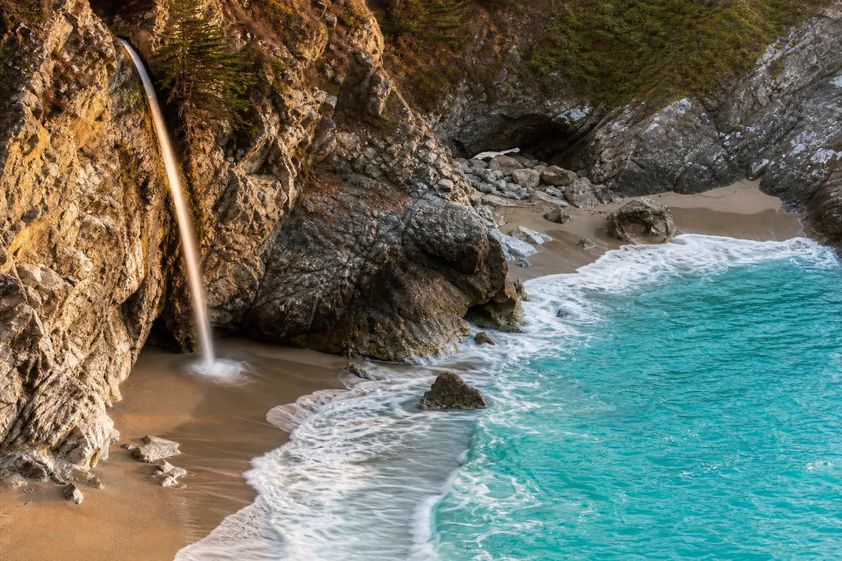
The best stops are on the way.
McWay Falls is a short walk from a Highway 1 pull-off — the kind of stop the plan puts in your day, in driving order.
Departure nudges, weather alerts and what’s next — in the car.
- Departure NudgesWhen to leave for the next stop, with a live ETA — not just the clock.
- Weather AlertsRain likely at an outdoor stop? An indoor option, one tap away.
- What’s Next, Re-PlannedA stop runs long and the rest of the day re-plans — booked times stay put.